Experiment - mapping simulated flight paths - Sun, Jan 22, 2023
This is a quick-and-dirty test of exporting flight simulator replays in GeoJSON format and rendering in MapLibre-GL.
Route
There’s nothing exciting about this one, I just needed to generate a test replay.
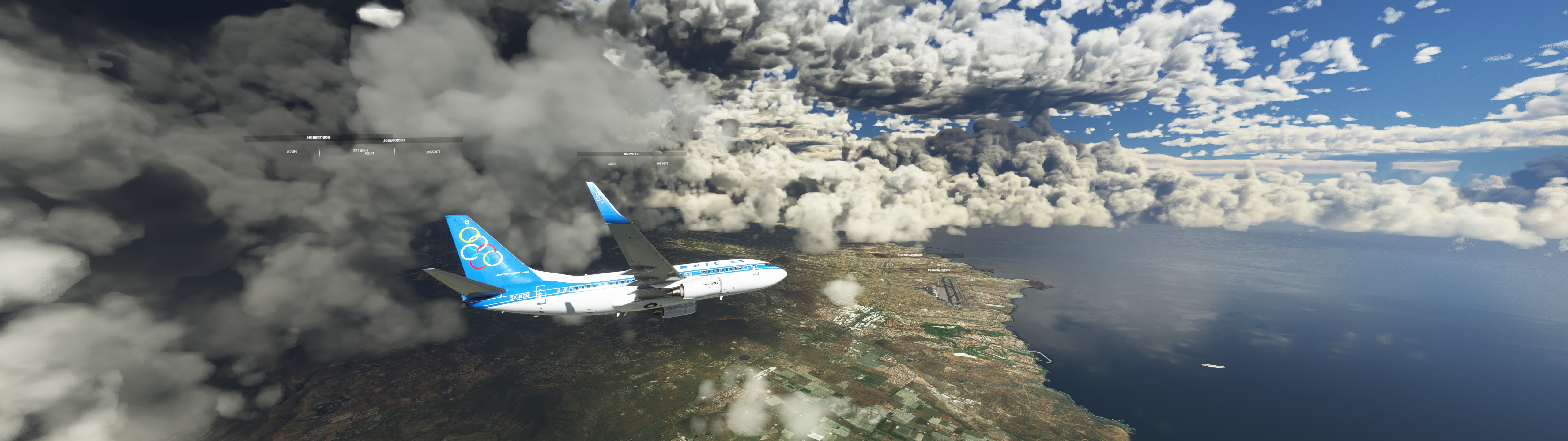
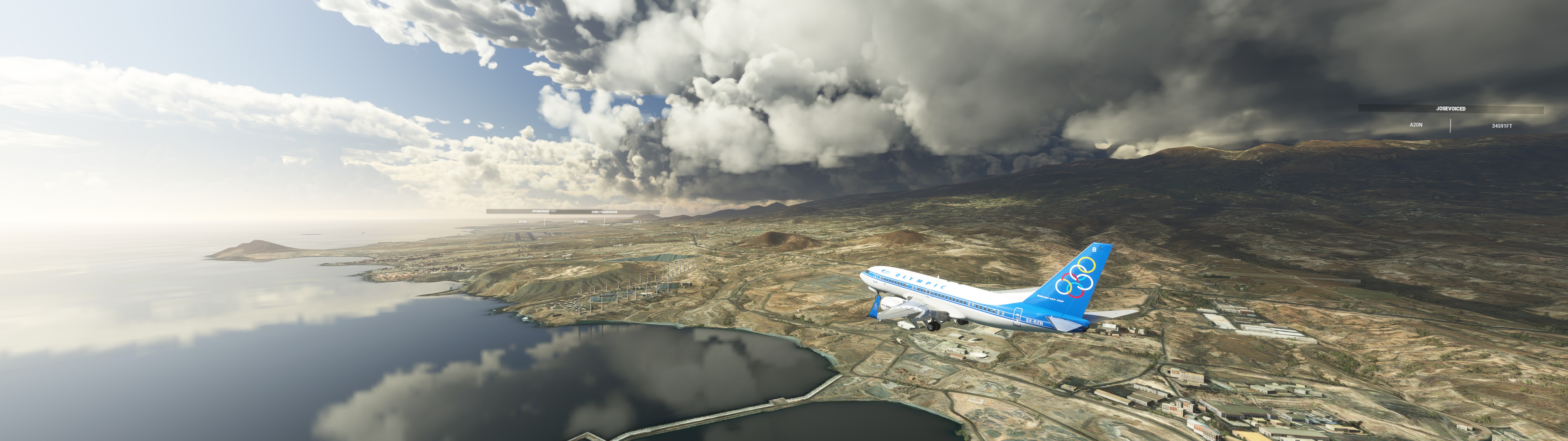
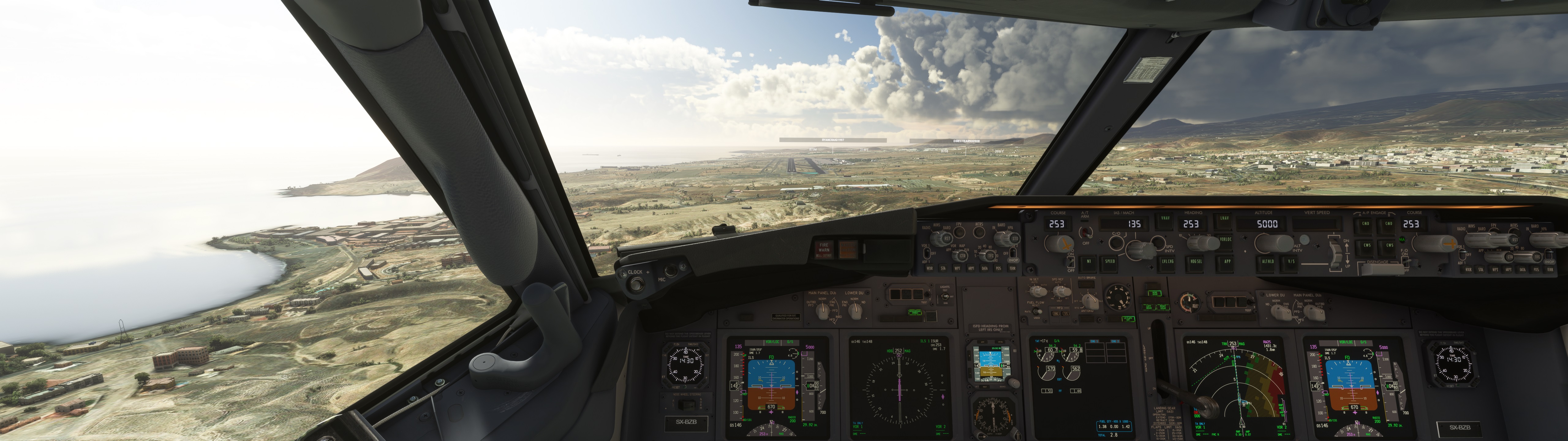
LPMA Madeira to GCTS Tenerife South.
PMDG 737-700 in Microsoft Flight Simulator 2020.
Replay to Map
Flight recorded using SkyDolly and exported in GeoJSON format.
Data points are at 1Hz intervals in a linestring array in the format [lon, lat, altitude] - however MapLibre-GL presently doesn’t support extruding a line using elevation data, and I am still considering the best workarounds.
It might be possible to convert the line array into a polygon, but I expect this will need additional libraries like Turf.js, so for the moment all you’ll see is a flat line at 0 altitude.
Attributions
GeoJSON Flight Data recorded and exported using SkyDolly.
Runway & taxiway shape data © OpenStreetMap contributors.
Airport metadata courtesy of OurAirports.
Made with Natural Earth.